Lands and Surveys Department Introduces Conference Attendees to Geomatic Engineering
The importance of Geomatic Engineering and Geographical Information Systems (GIS) has been highlighted to young Barbadians during the third annual I AM Conference.
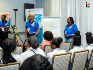
The presentation by the Lands and Surveys Department took place at the Hilton Barbados Resort as part of the ongoing four-day event.
Manager of Information Systems in the Lands and Surveys Department, Paul Collymore, said GIS is a collection of data, hardware, software and processes used for viewing, analysing and displaying geographically referenced information.
He also defined geomatic engineering as a discipline involving the collection, analysis and management of geospatial data to create maps and models of the earth’s surface and other features.
Mr Collymore told the young men and women that “GIS impacts every facet of life they are involved in and is a very powerful tool of development.”
“The very mobile phones you use daily rely on GIS to provide information to you, as well as regulating traffic flows that help to shape the world and make it a better place,” Mr Collymore contended.
He said they use “GIS to help with constructing buildings, the fisheries sector, communication, supermarkets, tourism, health, agriculture, heritage, the environment, water management, electricity and its related issues, climate change and in any endeavour they can think of.”
“GIS helps Barbadians to live better lives and we are willing to play our part to ensure this continues, including through the use of drones to gather and analyse data,” Mr Collymore posited.
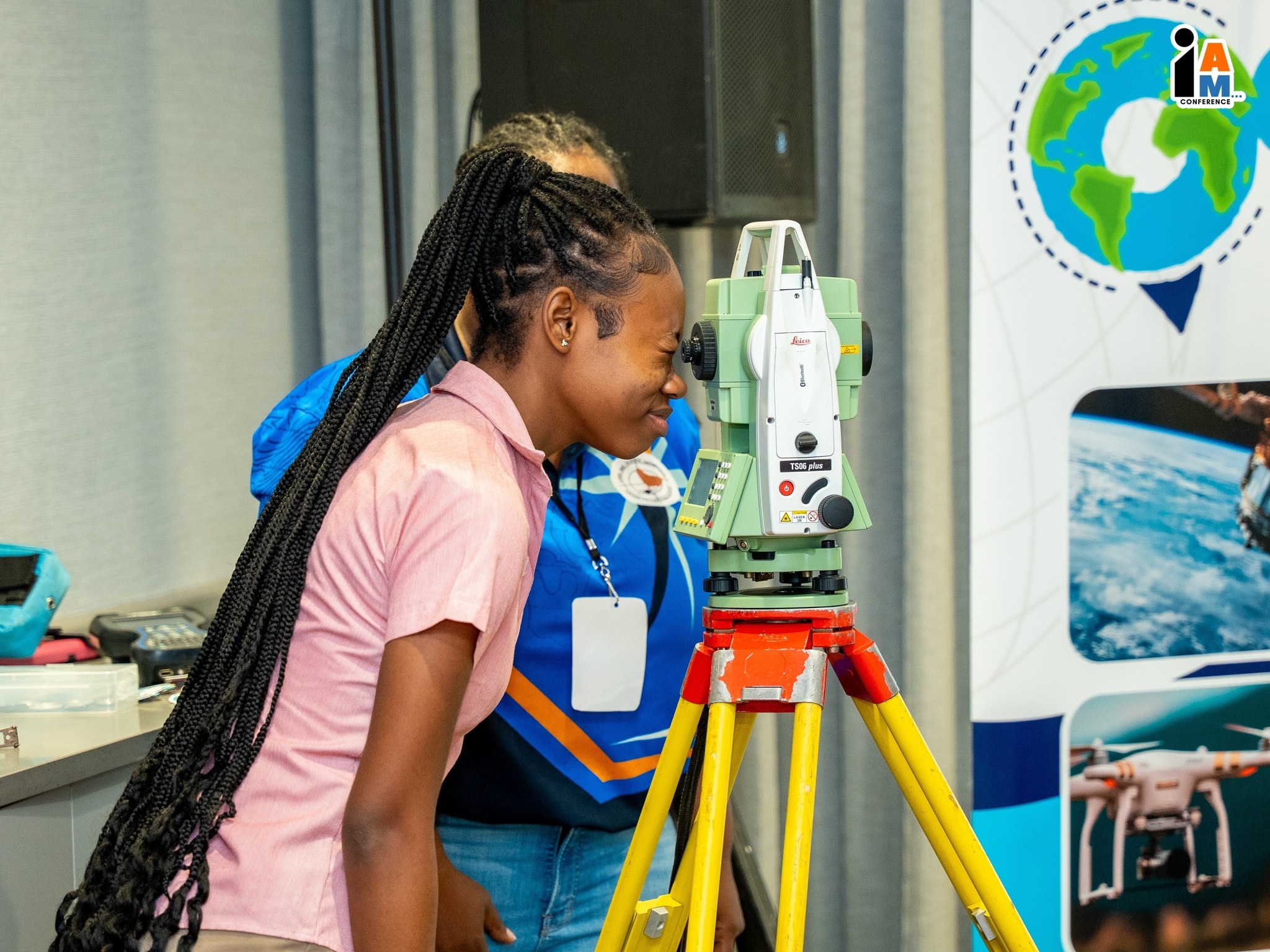
 The hands-on exercise to measure lengths and map buildings was expertly handled by the Lands and Surveys Department team which included Acting Senior Land Surveyor Camille Belgrave, Land Surveyor Michelle St Clair and Mr Collymore.
Over 30 young people attended the session, which was warmly received by the students who expressed surprise at the impact of GIS on the global landscape.